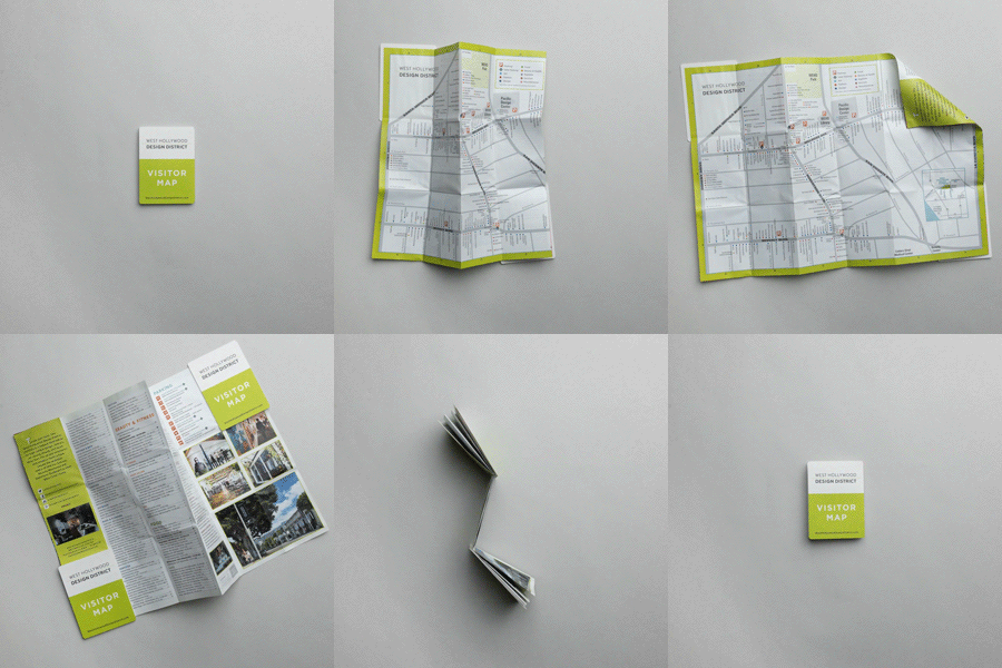
How City Planners Can Use Print Map Design For Accessibility Praxis
- Folding Maps
- City Wayfinding
- Campus Wayfinding
How City Planners Can Use Print Map Design For Accessibility Praxis
When it comes to transit maps for subways or buses, most of us take their accessibility for granted. But for those who need wheelchair assistance, these maps can tell a different story.
When it comes to transit maps for subways or buses, most of us take their accessibility for granted. But for those who need wheelchair assistance, these maps can tell a different story: questions on how easy will it be to get on a particular stop, or if the next stop gets them to their destination, become very important. Does your map answer these questions?
An excellent example to help you think through this lens in a recent article at Gothamist: subway enthusiast Matthew Ahn recreated New York's MTA map that highlights all 106 stops of the 422 stations that are ADA-accessible. Overall, it revealed a long and challenging commute for those in wheelchairs: many lines are inaccessible, which might mean a reliance on buses or taxis to help transfer one rider to the next place. When juxtaposed against the original map, it's even harder to understand where specific stops are accessible.
Transit authorities should, therefore, consider printing a map design that specifically geared to those in wheelchairs or who have physical limitations that might affect where and how they get on public transportation. Since not every reader has the same physical accessibility to every stop, accessibility maps can help those find their destination better and plan accordingly, while also encouraging those who might avoid public transit because they believe there are no access points for them.
Not only will this be an excellent resource for many people who are physically disabled but rely on public transportation, but it can also encourage policy or structural changes to improve your transit system. Cities that make their transportation more accessible not only strengthen their ridership numbers but can also be helping city economy and employment by creating travel available to all.
Overall, it's worth getting a printed map that specifically caters to a strong user base. To get your map printed, contact us: we can help you develop and design a more accessible map.
